FAQs
- Up to 20 metres (Up to RL20).
- Up to 20 metres, with the option to increase to 40 metres if requirements are met.
- Up to 40 metres, with the option to increase to 60 metres if requirements are met.
- Up to 60 metres, with the option to increase to 80 metres if requirements are met.
- Up to 80 metres, with the option to increase to 100 metres if requirements are met.
- Include affordable housing.
- Incorporate green features (like landscaping and rooftop gardens).
- Carry out a Council design review.
- Demonstrate visually appealing design principles.
What's the process and how long will it take?
We're asking for your feedback to share your ideas on the draft masterplan. After this community engagement period, we'll progress to the next stage of the process.
Step 1: Council adopts masterplan
Once we receive the community's feedback, we'll consider your views and amend the draft masterplan if necessary. Council will then adopt the masterplan.
Step 2: Draft legal documents to amend the LEP
After Council adopts the masterplan, we'll draft the legal documents to amend the Local Environmental Plan (LEP). LEPs guide planning decisions within local government areas. They do this by setting out zoning and development controls that outline how land can be used.
Step 3: Prepare related documents
We need to prepare other documents along with the amended LEP such as a development control plan, contributions plan, and voluntary planning agreement policy.
Step 4: Amended LEP passed as legislation
The amended LEP is published and passed as legislation.
What next?
The whole process is likely to take one to two years and includes multiple public exhibition periods.
Why are we doing this?
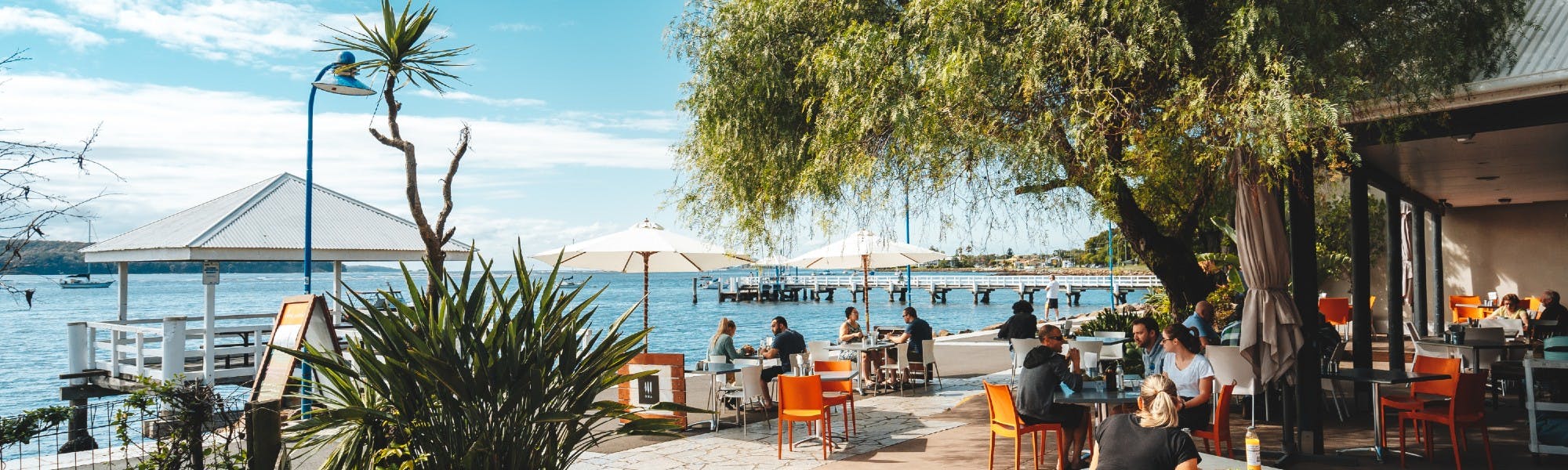
The plan sets out a vision for Batemans Bay's future development, provides for population growth, aims to increase housing options, boost local economic growth, enhance climate resilience, and make the town a desirable place to visit, live, and work.
It outlines appropriate building heights and density, addresses infrastructure needs, and ensures high-quality design for higher-density developments.
Why are we proposing the construction of tall buildings?
The population of Batemans Bay is growing and is likely to double during the period covered of the Batemans Bay Masterplan. Due to the nature of the environment, the township cannot expand outward, requiring taller building or smaller lot sizes, townhouses, and terrace-style dwellings to accommodate the increasing population.
The plan outlines five building height ranges across six key sites. Urban design consultants identified these sites based on the ability to support additional heights and visual appeal at these locations.
The building heights throughout Batemans Bay will vary, resembling the crest and trough of a wave, harmonising with the Bay’s landscape and gateways.
What is the intended height of buildings?
Building height can measure 20, 40, 60, or 80 metres when assessed from sea level.
The allowable heights vary by site based on land elevation.
Requirements
While meeting all four requirements is unlikely, a 5-metre bonus is available for each requirement met.
What other aspects does the masterplan cover?
The plan includes enhancements to infrastructure, new housing developments, commercial areas, and public amenities to promote economic and social sustainability. Proposed changes for Perry Street and the Water Gardens will create new alternative spaces, incorporate street trees and lighting, and introduce diverse housing and office spaces. A residential area will also be included along the quayside.
Are we suggesting increased height everywhere?
No, we are not. Six sites will have options for significant height increases, while most locations will see some height enhancements. Appendix 2 of the plan outlines which areas may expect height increases and the levels.
Why do we want supermarkets located south of Beach Road?
The current locations of supermarkets are a major contributor to traffic congestion. The plan promotes relocating supermarkets away from the current locations and closer to suburbs.
What are we doing about climate change and sea level rise?
Flood and inundation modelling provides key principles that shape the plan. These include: no basement parking; residential and commercial ground floor levels set above the flood limits; wave return wall protection for foreshore walkway shops; increased open space, and street trees for shade. Examples include proposed changes to Perry Street and the Water Gardens, and stormwater upgrades.
What is happening with the old bowling club site?
Potential height for the site and development opportunities have been identified in the plan.
Council owns the old bowling club site and expressions of interest in its development were sought. The outcome of the expression of interest is pending completion of the Batemans Bay Masterplan.