Moruya Flood Study and Flood Risk Management Study and Plan
Council has updated its flood study and prepared a new risk management plan for Moruya. This could affect your property's flood risk rating or what can be built in your area - so we want to hear what you think.
Project background
The NSW Flood Risk Management Manual (the Manual) helps us to understand and manage flood risk. Under the Manual, NSW councils are required to carry out a flood study, and flood risk management study and plan.
Our last flood study for Moruya was done in 2011. During the study, we collected data that looked at how floodwater behaves - including how fast it moves and how deep it gets.
Our last flood study for Moruya was done in 2011. During the study, we collected data that looked at how floodwater behaves - including how fast it moves and how deep it gets.
Our previous flood risk management plan dates back to 2004.
The Manual recommends that NSW councils update these documents every five years.
Have your say
Council invited the community to share their views in three ways:
- Read the draft and give feedback. The Draft Moruya Flood Study and Floodplain Risk Management Study and Plan was on public exhibition from Wednesday 13 May 2926 to Wednesday 10 June 2026. The community provided direct feedback on the draft documents.
- Drop-in sessions. Council held drop-in sessions on Monday 25 May and Tuesday 26 May 2026. We invited the community to talk to Council's flood planner, planning experts, and specialist consultants Rhelm in person.
- Survey. The community could share their thoughts on the flood management options we identified. The survey was open for feedback from Wednesday 13 May to Wednesday 10 June 2026.
Next steps
We will collect and analyse all feedback received during the public exhibition, community drop-in sessions, and survey, and use it to update the final study and plan. We'll then present the documents to Council to endorse.
Follow our project page
Contact us
For more information, contact Council's Coast and Flood Management Planner, James Caffery:
- T: 4474 1037
- E: james.caffery@esc.nsw.gov.au
Documents
-
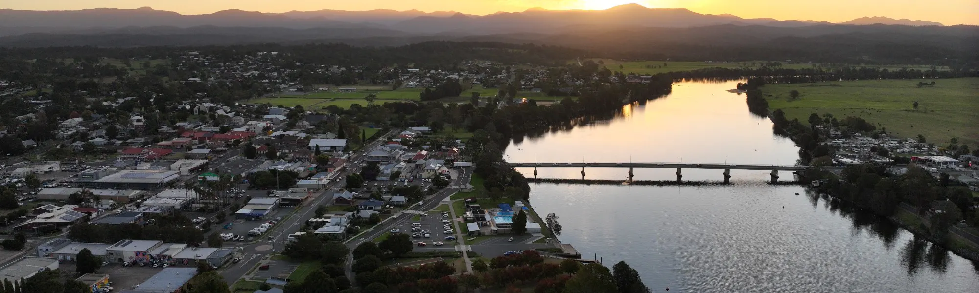
 Moruya Flood Study area (782 KB) (jpeg)
-
 Draft Moruya Flood Study and Flood Risk Management Study and Plan
-
Moruya Floodplain Risk Management Study and Plan - Draft Flood Study - Part 1.pdf (49.3 MB) (pdf)
-
Moruya Floodplain Risk Management Study and Plan - Draft Flood Study - Part 2.pdf (49.5 MB) (pdf)
-
Moruya Floodplain Risk Management Study and Plan - Draft Flood Study - Part 3.pdf (49.6 MB) (pdf)
-
Moruya Floodplain Risk Management Study and Plan - Draft Flood Study - Part 4.pdf (50 MB) (pdf)
-
Moruya Floodplain Risk Management Study and Plan - Draft Flood Study - Part 5.pdf (47.2 MB) (pdf)
-
Moruya Floodplain Risk Management Study and Plan - Draft Flood Study - Part 6.pdf (49.4 MB) (pdf)
-
Moruya Floodplain Risk Management Study and Plan - Draft Flood Study - Part 7.pdf (49.2 MB) (pdf)
-
Moruya Floodplain Risk Management Study and Plan - Draft Flood Study - Part 8.pdf (25.9 MB) (pdf)
-
Moruya Floodplain Risk Management Study and Plan - Draft Floodplain Risk Management Study.pdf (48.2 MB) (pdf)
-
Moruya Floodplain Risk Management Study and Plan - Draft Floodplain Risk Management Plan.pdf (6.77 MB) (pdf)
-